The Biebrza basin: geographic context
The Biebrza river drains a flat post-glacial valley in the Podlaskie region of northeastern Poland, covering approximately 7,000 km² before its confluence with the Narew. The valley floor is underlain by peat deposits accumulated over several thousand years, with depths of up to several metres in the lower basin.
The hydrological character of the valley is defined by seasonal flooding: spring snowmelt from the Augustów and Knyszyńska forest uplands raises river levels and inundates floodplain meadows for weeks at a time. This inundation cycle historically maintained a mosaic of open fen, sedge meadow, and wet alder forest across the valley floor.
Key figures — Biebrza NP
- Area: approximately 59,200 ha
- Peatland cover: over 70% of the park area
- European protected status: Special Area of Conservation under Habitats Directive (Natura 2000)
- Ramsar site designation: listed since 1995
Impact of historical drainage
Large-scale drainage works in the Biebrza valley began in the 19th century under Russian imperial agricultural policy and continued under Polish administration through much of the 20th century. The Augustów Canal (completed 1839) and subsequent smaller-scale collector ditches altered water movement across the northern and central basins.
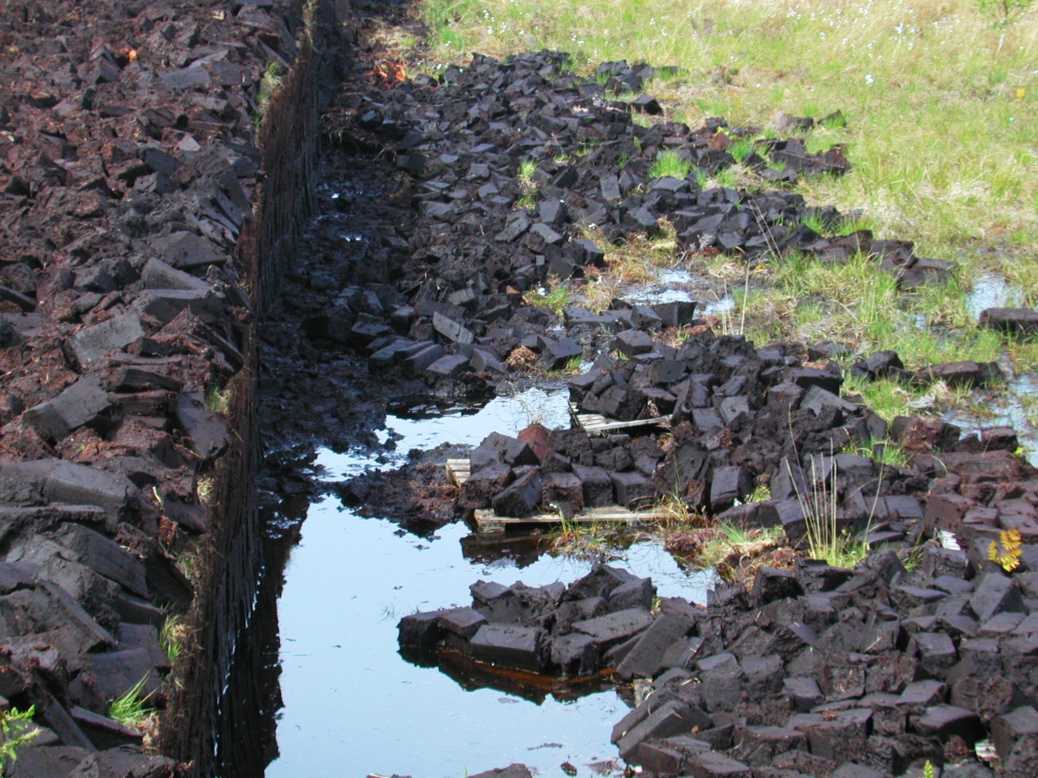
The most systematic drainage occurred between the 1960s and 1980s, when state land reclamation programmes cut several thousand kilometres of agricultural drains across the valley. These works lowered the water table across large areas of fen, facilitating hay production and limited arable conversion.
The effect on peat was significant: aerobic conditions following drainage accelerate oxidation and shrinkage. In parts of the upper basin, measured peat surface subsidence attributable to post-drainage oxidation has been documented in long-term monitoring plots.
Restoration objectives in the National Park
When Biebrza National Park was established in 1993, one stated management objective was to reverse the hydrological degradation of areas within and adjacent to its boundaries. Restoration has proceeded through several parallel tracks:
Ditch blocking
Small agricultural drains cut into the fen surface have been progressively blocked using peat and timber dams to slow water drawdown. Blocking is most effective in the upper peat layer, where drain densities are highest and the hydraulic gradient modest. In the central basin, where drains intersect older collector channels, individual ditch blocks have less effect without wider hydrological intervention.
Reed encroachment management
Paradoxically, rewetting alone does not always restore open fen vegetation. In many parts of the valley, lowering the water table during the drainage period allowed Phragmites australis (common reed) and Phalaris arundinacea (reed canary grass) to establish dense stands on surfaces that had previously supported diverse sedge meadow communities.
Once present, reed stands can persist even after rewetting, as they tolerate prolonged inundation. Park management has used a combination of mowing and, in limited areas, water level manipulation to discourage reed dominance. Reintroduction of traditional hay meadow management — late-summer mowing, without fertilisation — has proved effective where labour and machinery access permit.
Grazing reintroduction
Extensive cattle and horse grazing historically kept large areas of the valley floor open. Reintroduction of low-intensity grazing, including the use of native lowland cattle breeds, has been trialled in several zones of the park as a complement to mowing. Grazing has the advantage of maintaining vegetation structure throughout the growing season and reducing litter accumulation, which can suppress shorter wetland species.
Flood pulse dynamics
The spring flood pulse — annual inundation of the floodplain — is the primary ecological driver of the Biebrza system. Restoration work generally aims to restore the amplitude and duration of flooding to pre-drainage conditions, where measurable, or at least to avoid further reduction.
At Biebrza, the flood pulse also represents a significant ornithological resource: the valley supports breeding populations of several globally and regionally threatened wading and wildfowl species, many of which depend on wet meadow conditions that persist only if inundation duration is adequate and meadow vegetation is not too tall or dense.
References
- Biebrza National Park management plan documentation, publicly available via biebrza.org.pl
- Ramsar site information sheet — Biebrzańskie Bagna, Ramsar Convention Secretariat
- Holden, J. et al. (2004). Artificial drainage of peatlands: hydrological and hydrochemical process and wetland restoration. Progress in Physical Geography, 28(1), 95–123.
- Okruszko, T. et al. — multiple publications on Biebrza hydrology, Szkoła Główna Gospodarstwa Wiejskiego (SGGW), Warsaw
Constraints and ongoing challenges
Restoration work in the Biebrza valley is not without constraint. Land ownership outside park boundaries is complex: a significant proportion of the wider valley buffer zone remains in private agricultural use, and water management infrastructure (collector drains, pumping stations) often crosses ownership boundaries.
Climate change introduces additional uncertainty. Projections for the Podlaskie region suggest longer dry periods in summer and potentially altered snowmelt timing, which could reduce the amplitude of the spring flood pulse. Adaptive management approaches that can respond to changing hydrological conditions are increasingly discussed in national park planning documents.
Article last reviewed: June 2026. For corrections or additional source references, use the contact form.